Forecast Track
No Data Available
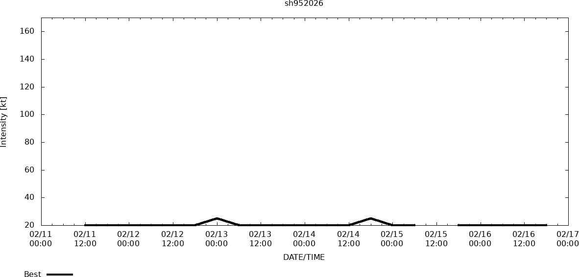
Track History
| Synoptic Time | Latitude | Longitude | Intensity |
| 2026-06-12 18:00 | -31.0 | 51.1 | 25 |
| 2026-06-12 12:00 | -30.6 | 50.8 | 25 |
Enhanced Infrared (IR) Imagery (4 km Mercator)

Loop | Latest Image | Archive | About
Time of Latest Image: 2026-06-12 20:00
85 – 92 GHz Brightness Temperature

Loop | Latest Image | Archive | About
Time of Latest Image: 2026-06-12 18:26
Multiplatform Satellite Surface Wind Analysis (Experimental)

Latest Image | Archive | About
Time of Latest Image: 2026-06-12 18:00
RIPA Storm Table
Please use the links below to view the text data for this product.
Latest Text File | | Archive | About
Time of Latest Image: 2026-06-12 18:00