Regional and Mesoscale Meteorology Branch
Show Menu
Home
Real-Time Data
SLIDER
TC Real-Time
RAMSDIS
TC Genesis
Research Projects
GOES-R Research
JPSS VIIRS Calibration/Validation & Visulalization
Tropical Cyclones
AI/ML
Training/Outreach
International
SHyMet
VISIT
Resources
Acronyms
Blogs
Contact Directory
Publications
Personnel
Staff Login
TC Realtime
AL062006 - Hurricane FLORENCE
Current Active Cyclones
Archive
2026 Season
2025 Season
2024 Season
2023 Season
2022 Season
2021 Season
2020 Season
2019 Season
2018 Season
2017 Season
2016 Season
2015 Season
2014 Season
2013 Season
2012 Season
2011 Season
2010 Season
2009 Season
2008 Season
2007 Season
2006 Season
Additional Information
Additional Links
Storm Synopsis
Satellite
Model Data
Wind Hazards
Experimental
Geostationary Imagery
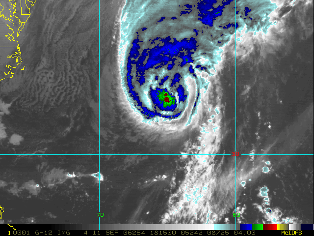
Enhanced Infrared (IR) Imagery (4 km Mercator)
Loop
|
Latest Image
|
Archive
|
About
Time of This Image: 2006-09-11 18:15
Low-Earth Imagery
Satellite Products
