Geostationary Imagery
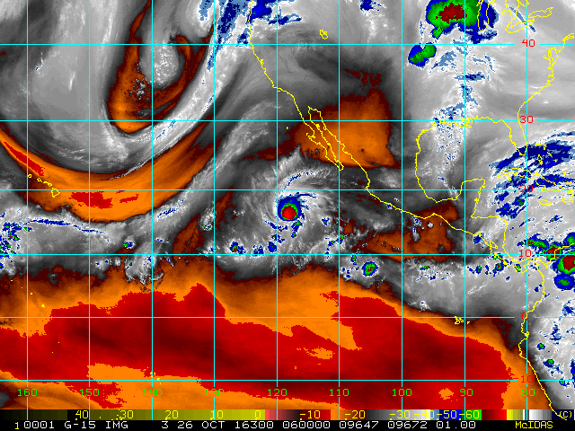
Enhanced Infrared (IR) Imagery (4 km Mercator)

Loop | Latest Image | Archive | About
Time of This Image: 2016-10-26 06:00
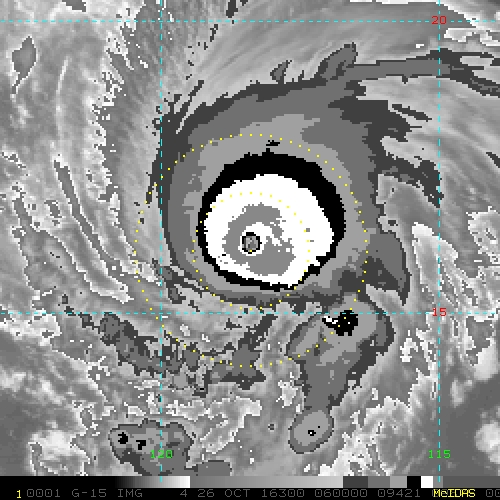
Storm Relative 1 km Geostationary Visible Imagery

Loop | Latest Image | Archive | About
Time of This Image: 2016-10-26 13:45
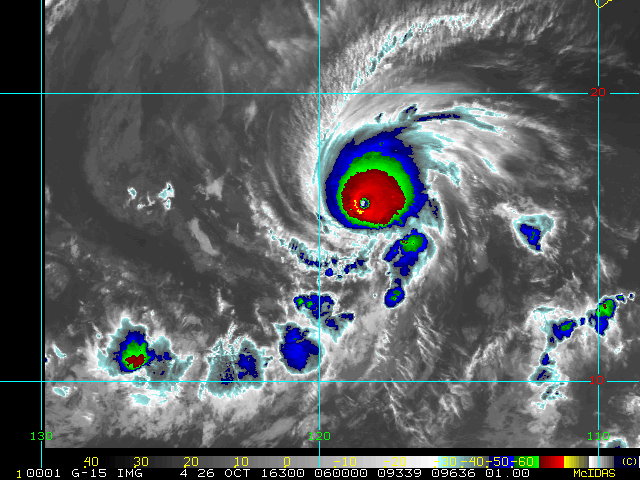
2 km Storm Relative IR Imagery with BD Enhancement Curve

Loop | Latest Image | Archive | About
Time of This Image: 2016-10-26 06:00
Storm Relative 16 km Geostationary Water Vapor Imagery

Loop | Latest Image | Archive | About
Time of This Image: 2016-10-26 06:00
Low-Earth Imagery
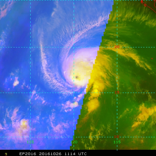
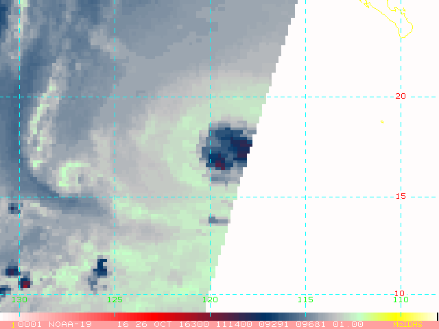
IR/WV/Microwave RGB (IR [R], WV [G], MI89 [B])

Loop | Latest Image | Archive | About
Time of This Image: 2016-10-26 11:14
Enhanced Infrared (IR) Imagery (1 km Mercator, MODIS/AVHRR)

Loop | Latest Image | Archive | About
Time of This Image: 2016-10-26 06:00
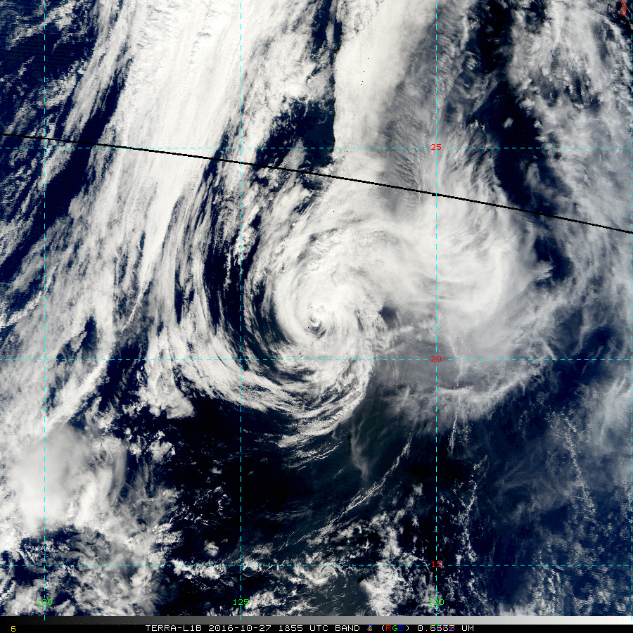
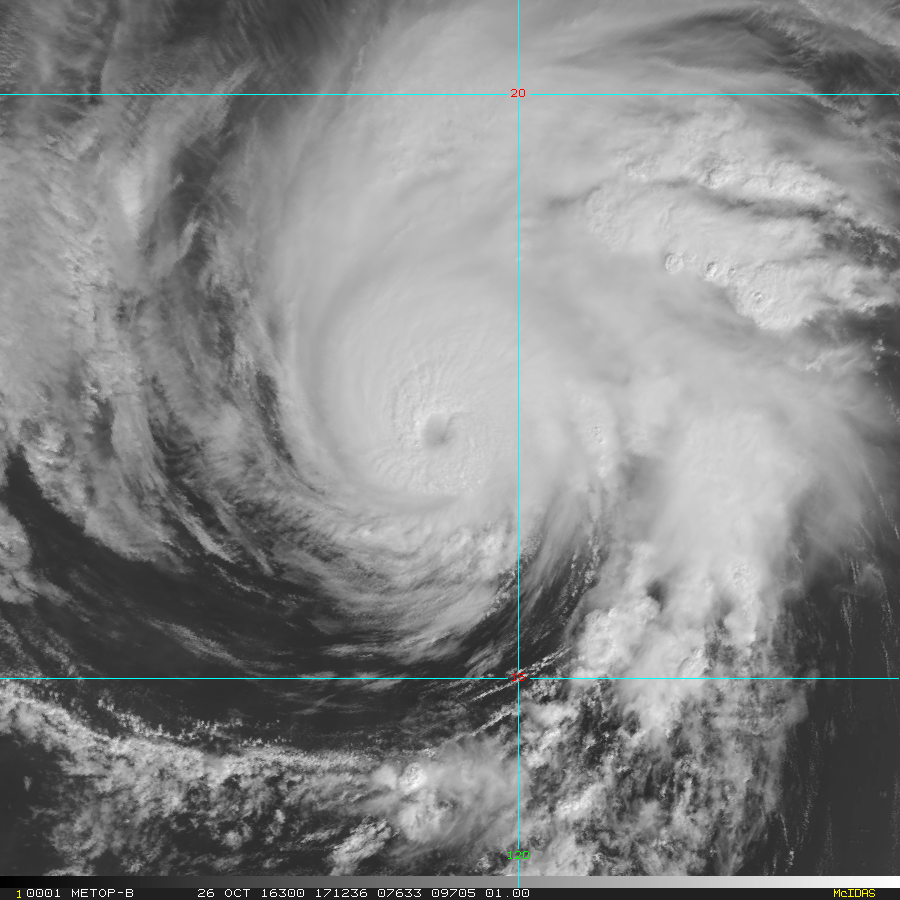
Visible Imagery (1 km Mercator, MODIS/AVHRR)

Loop | Latest Image | Archive | About
Time of This Image: 2016-10-26 17:12
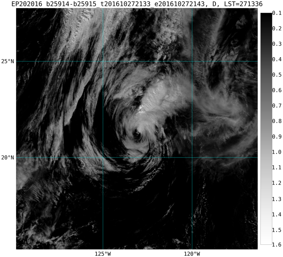
Day/Night Visible Imagery VIIRS

Loop | Latest Image | Archive | About
Time of This Image: 2016-10-27 21:38
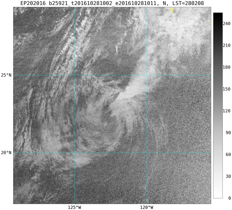
Day/Night DNB Imagery VIIRS

Loop | Latest Image | Archive | About
Time of This Image: 2016-10-28 10:04
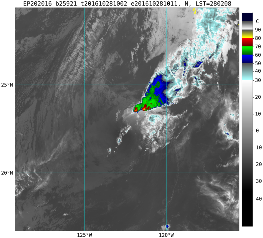
Enhanced Infrared (IR) VIIRS

Loop | Latest Image | Archive | About
Time of This Image: 2016-10-28 10:04
Satellite Products
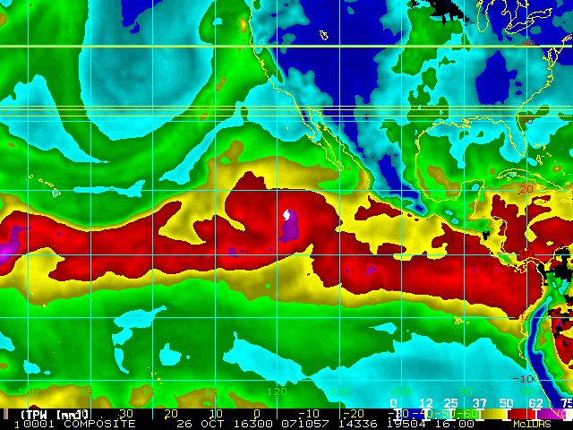
Storm Relative 16 km Microwave-Based Total Precipitable Water Imagery

Loop | Latest Image | Archive | About
Time of This Image: 2016-10-26 07:10
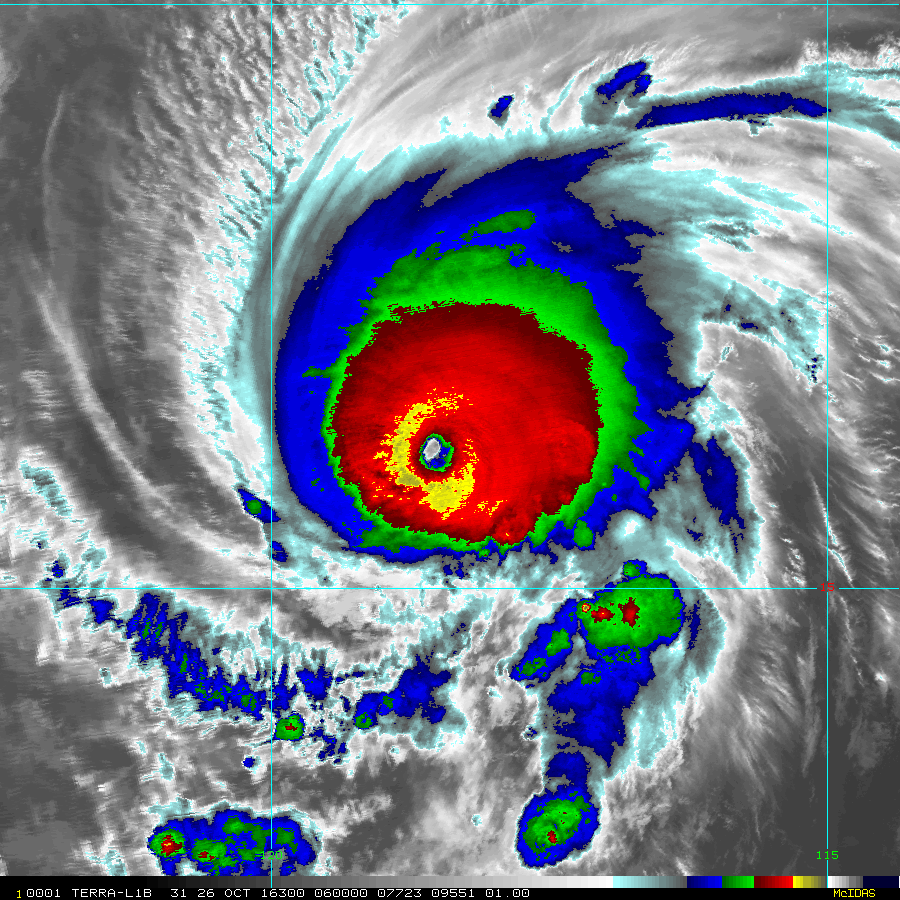
AMSU Microwave 89 GHz Imagery (4 km Mercator)

Loop | Latest Image | Archive | About
Time of This Image: 2016-10-26 11:14