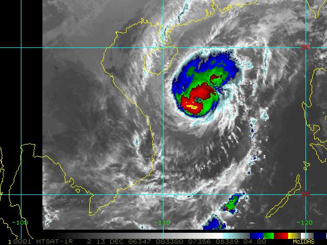
Geostationary Imagery
Enhanced Infrared (IR) Imagery (4 km Mercator)

Loop | Latest Image | Archive | About
Time of This Image: 2006-12-13 00:33
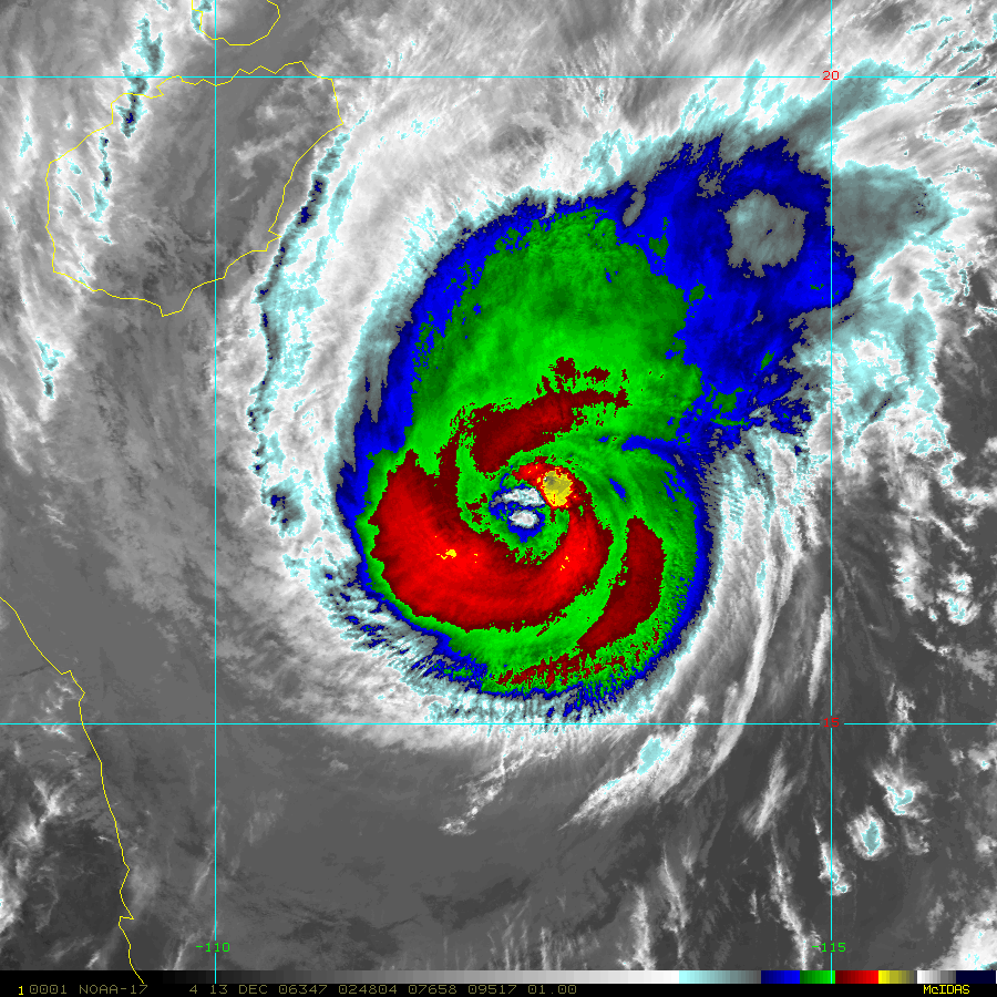
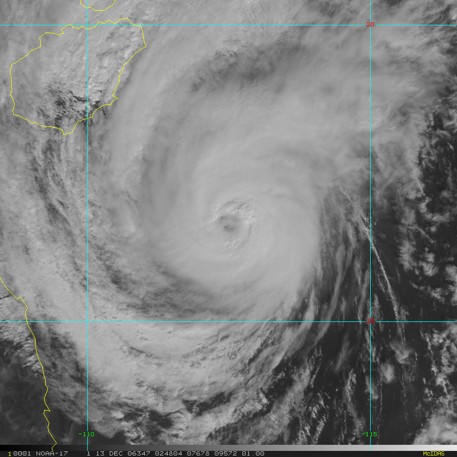
Low-Earth Imagery
Enhanced Infrared (IR) Imagery (1 km Mercator, MODIS/AVHRR)

Loop | Latest Image | Archive | About
Time of This Image: 2006-12-13 02:48
Visible Imagery (1 km Mercator, MODIS/AVHRR)

Loop | Latest Image | Archive | About
Time of This Image: 2006-12-13 02:48